Wise Men Scan the Land explores the boundaries of military action in Canada, reflecting closely on the visibility of the effects and consequences. Initially concerned with groundwater contamination where I grew up, the project encourages the viewer to expand their spatial and temporal boundaries of war by exploring Canada’s role in military research, development and production and the link between land, military and the environment.
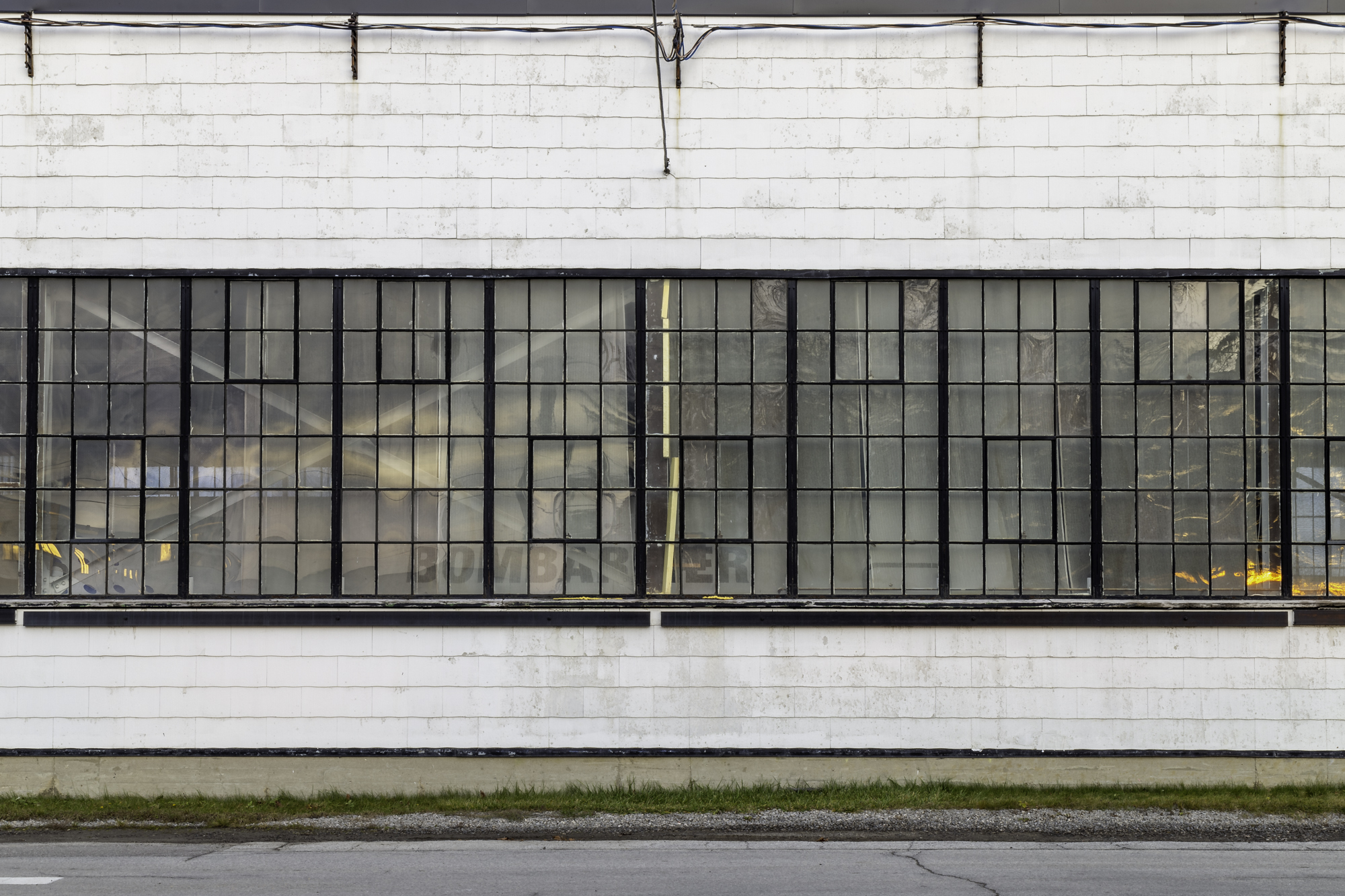
The project uses the archive to examine historical actions that Canada has taken, such as the Distant Early Warning (DEW) Line whose legacy is one of harm instead of protection. As well, Wise Men Scan the Land uses remote sensing technology that has been largely reserved for battlefield intelligence to turn the camera back on the land exploring the sites of defence production and military installations in Canada.
The images examine past questions and actions, as well as encourage the viewer to consider questions that are being raised today existing in a state of liminality, they happen now and then, challenging the hyperactive visual language of war.
Wise Men Scan the Land